Высокоточный приемник GNSS eTrex10 ручной сборщик данных Android GIS по лучшей
- Категория: Other Test Instruments >>>
- Поставщик: Shanghai,Hexin,Survey,Instrument,Company,Ltd.
Поделиться:
Описание и отзывы
Трекер стоимости
| Месяц | Минимальная цена | Макс. стоимость |
|---|---|---|
| Sep-18-2025 | 95.86 $* | 100.72 $* |
| Aug-18-2025 | 94.53 $* | 99.41 $* |
| Jul-18-2025 | 79.73 $* | 83.59 $* |
| Jun-18-2025 | 93.2 $* | 98.83 $* |
| May-18-2025 | 81.88 $* | 85.58 $* |
| Apr-18-2025 | 91.40 $* | 96.84 $* |
| Mar-18-2025 | 90.41 $* | 95.1 $* |
| Feb-18-2025 | 90.6 $* | 95.83 $* |
| Jan-18-2025 | 89.64 $* | 93.45 $* |
Характеристики

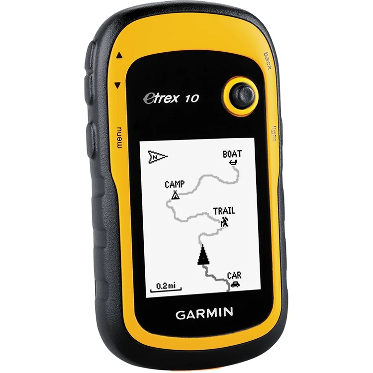
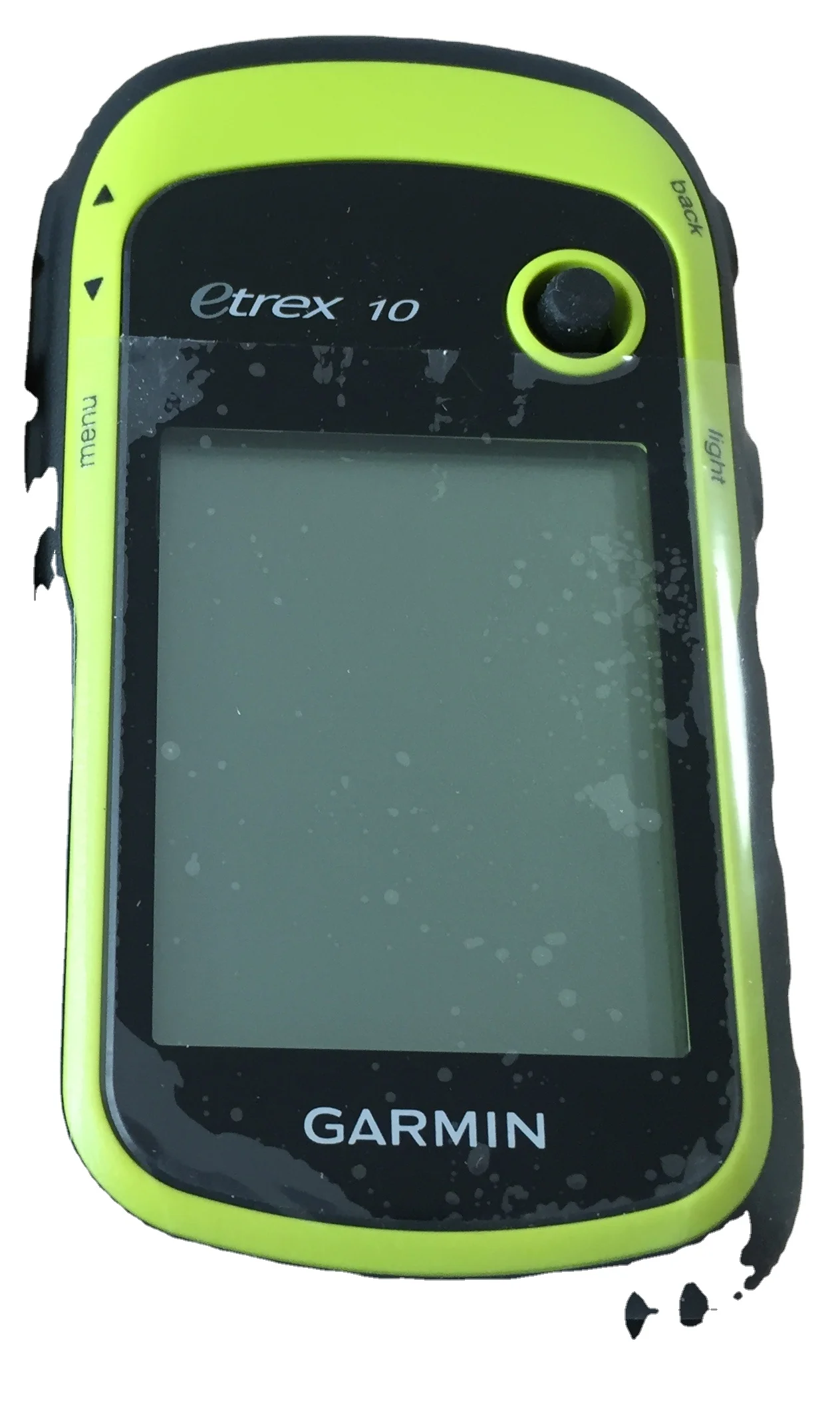
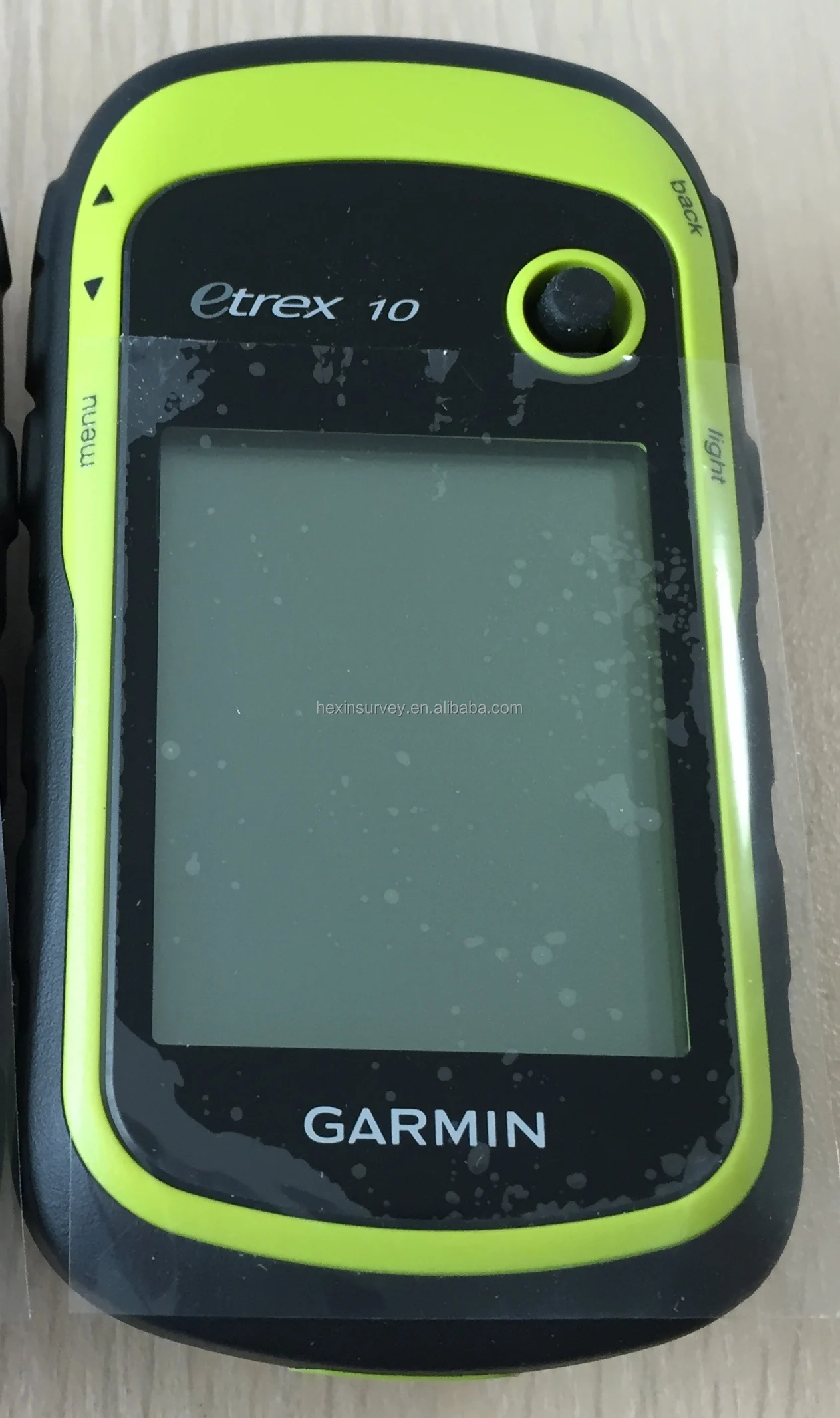
eTrex 10 handheld GPS
* Worldwide basemap
* 2.2" monochrome display, easy to read in any light
* GPS and GLONASS satellites for faster positioning
* Paperless geocaching
* 25-hour battery life with 2 AA batteries
See the Way
eTrex 10 has an enhanced 2.2" monochrome display that’s easy to read in any lighting situation. Both durable and water resistant, eTrex 10 is built to withstand the elements.
Find Fun
eTrex 10 supports geocaching GPX files for transferring geocaches. Visit OpenCaching to start your geocaching adventure. By going paperless, you're not only helping the environment but also improving efficiency. Simply upload the GPX file to your eTrex 10 and start hunting for caches.
Keep Your Fix
Whether you’re in deep woods or just near tall buildings and trees, you can count on eTrex 10 to help you find your way when you need it the most.
Go Global
eTrex devices are the first-ever consumer-grade receivers that can track both GPS and GLONASS satellites simultaneously. When using both GPS and GLONASS, the receiver has the ability to lock on to 24 more satellites than using GPS alone.
Plan Your Next Trip
Take charge of your next adventure with BaseCamp™, software that lets you view and organize maps, waypoints, routes, and tracks. BaseCamp displays topographic map data in 2-D or 3-D on your computer screen, including contour lines and elevation profiles.
product show

Product Description
Physical dimensions | 2.1" x 4.0" x 1.3" (5.4 x 10.3 x 3.3 cm) |
Display size, WxH | 1.4" x 1.7" (3.6 x 4.3 cm); |
Display resolution, WxH | 128 x 160 pixels |
Display type | transflective, monochrome |
Weight | 5 oz (141.7 g) with batteries |
Battery | 2 AA batteries (not included); |
Battery life | 25 hours |
Water rating | IPX7 |
High-sensitivity receiver | Yes |
Interface | USB |
Maps & Memory | |
Basemap | Yes |
Custom POIs | Yes |
Waypoints/favorites/locations | 1000 |
Routes | 50 |
Track log | 10,000 points, 100 saved tracks |
Outdoor Features | |
Geocaching-friendly | Yes (Paperless) |
Hunt/fish calendar | Yes |
Sun and moon information | Yes |
Area calculation | Yes |
Garmin Connect | |
Garmin Connect compatible | Yes |
Terms of payment
Generally, we accept Irrevocable LC at sight, Advance T/T, Paypal, Escrow and West
union.If you prefer other payment terms, please let us know.
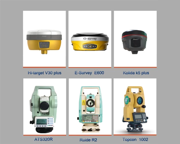
Related Products
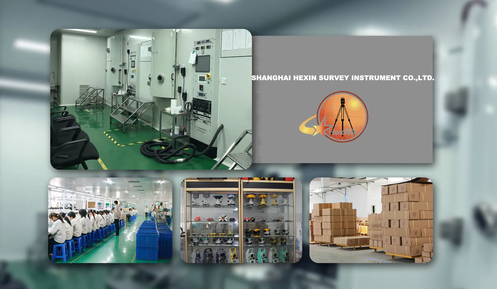
Company Information
Company Information
With 8 years' experience in geodetic surveying and cadastration surveying, we are a professional and leading enterprise in the surveying industry in Mainland China. We specialize in the R&D and manufacturing and sales of all kinds of surveying products, including total station, electronic theodolite, electronic distance meter, automatic level, laser level, reflector prism, surveying accessory, GPS receiver, mapping software, etc.
The marketing model advocated by us is not a simple sense of "selling products", instead, pre-sales service, services during operation and after-sales service are integrated in entire operating activities. It makes the customers feel that they purchased not only a commodity, but also a professional service.
We welcome new and old customers from all walks of life to contact us for future business relationships and achieving mutual success!
FAQ
Payment:
We accept payment by TT,Paypal, West union,and Escrow.
If you'd like other payment method, Pls let us know before the order

Delivery:
1.Usually, we will send out the products within 3-5 working days after the payment confirmed
2.Before shipment, pls supply the following information to us :
Contact person or company name
Detail address
Telephone No
Zip code
3.The buyer are responsible for the tax and/or duty charged by their country.
Return and warranty:
1.All products are inspected before shipment, if you are not satisfactory with the purchase,you can exchange the items in one week,and you must contact us within 24 hour of receipt of the products.
2.The shipping charges are not refundable and the customer should be responsible for all the charges of return and reshipping.
Feedback:
Customer's feedback will be high appreciated after receive the items.
Since your feedback are very important four our business development.
With more than 8 years' experience in geodetic surveying and cadastration surveying, we are a professional and leading enterprise in the surveying industry in Mainland China. We specialize in the R&D and manufacturing and sales of all kinds of surveying products, including total station, electronic theodolite, electronic distance meter, automatic level, laser level, reflector prism, surveying accessory, GPS receiver, mapping software, etc.
We welcome new and old customers from all walks of life to contact us for future business relationships and achieving mutual success!
If you have any questions, please feel free to contact me.
Please click on me to let you have more surprise !
Please click on me to let you have more surprise !